GPS
9 posts tagged.
-
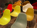
Immaterials: Satellite Lamps
Satellite Lamps reveals the invisible accuracy of GPS positioning across an urban landscape. Three lamps with built-in GPS receivers vary their brightness depending on signal accuracy, photographed over time to build a picture of how these signals behave in actual urban spaces.
-
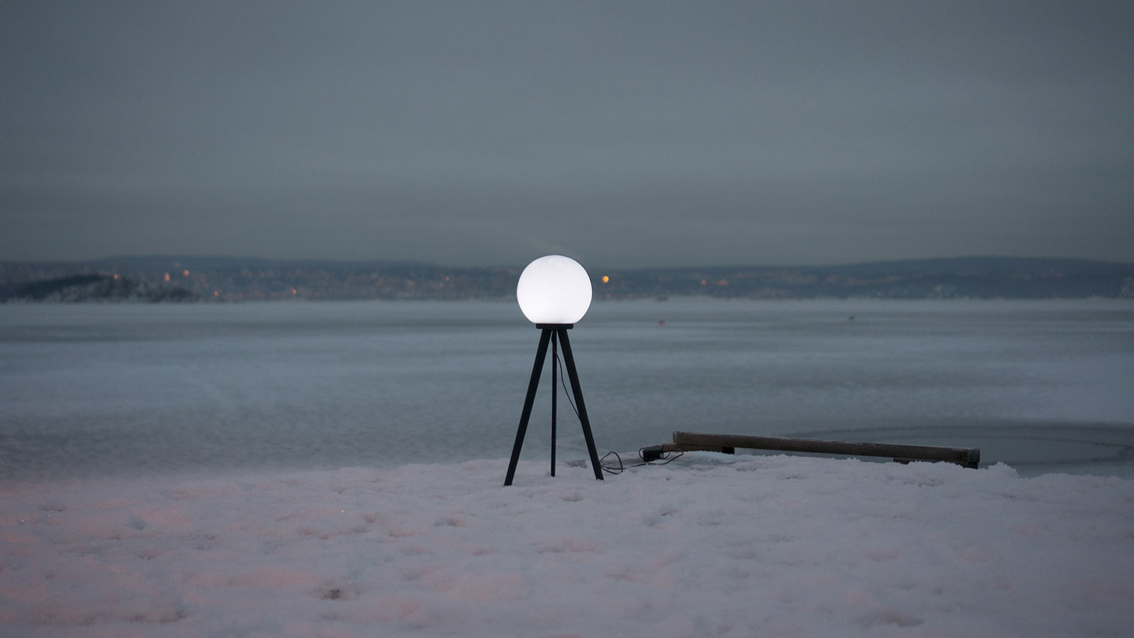
Satellite Lamps
Satellite Lamps is a project about making one of today’s most important infrastructures visible: GPS, the Global Positioning System. We built a series of lamps that change brightness according to the accuracy of the GPS signals they receive. Made with Einar Sneve Martinussen and Jørn Knutsen as part of the YOUrban research project at AHO.
-
Art + communication 2004
Notes from Art + Communication 2004, organised by RIXC in Riga, Latvia, the final event in the Trans-cultural Mapping workshop series. Even Westvang and I presented our Timeland project. A trip to Limbazi for the opening of the Piens (‘milk’) project, milk routes through the EU, mapped through the personal stories of the people along them.
-
Time that land forgot
A 2004 project with Even Westvang from the Iceland inside-and-out workshop, a prototype for contextualising photographs by time and geography, designed to shift the balance of representation away from pure location and towards image and time.
-
Photography and mapping from Afar
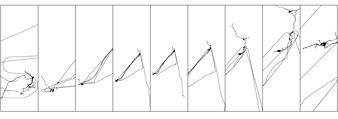
My contribution to ‘Afar’, an exhibition in Copenhagen where 25 international artists produced work to brief. For three months I recorded every walk, drive, train journey and flight I took while photographing daily life. Nine boards of images paired with GPS tracks drawn as simple lines show the transition from London to Oslo across a winter and spring.
-
Geo-referenced photography
The simplest way to link a photograph to a location is to combine two time-stamps: one from the digital camera, one from the GPS receiver. Given both sets of timestamps over the same period, a series of images and tracklogs can be processed to stamp each image with location metadata. Compiled in July 2004 at the Hofn workshop in Iceland, during the work that became Time that land forgot . A working reference list of papers, projects, guidelines, tools and the technical issues that surrounded geo-referenced photography at that moment. Most of the links below are now dead; the list is preserved as a snapshot of what the state of the art looked like in 2004. Position-annotated Photographs: The Geotemporal Web GEOREP: Digital Library for Spatial Data Geographic location tags on digital images, Microsoft Portable digital photo album Tokyo Picturesque ( details ) Habitat Perspectives Photo Location ( metadata notes ) Geo Snapper WWMX web demo Good list of other photo mapping projects Commercial applications and scripts that link photographs to geographic information: Robophoto 93 Photo Street Photofusion Media Mapper OziPhotoTool GPS photo link GPS TrackMaker QuakeMap WWMX Travelogue app…
-
Mobile outskirts workshop
A bus full of GPS receivers, cameras and impromptu artworks drove fifteen hours from Trondheim up to the islands of Lofoten. The workshop wiki and media archive are being kept updated via fairly limited wireless coverage. A short dispatch from the Mobile Outskirts workshop in Lofoten, June 2004, part of the Trans-cultural Mapping workshop series . A painless and creative bus drive up the Norwegian coast.
-
Urban GPS experience
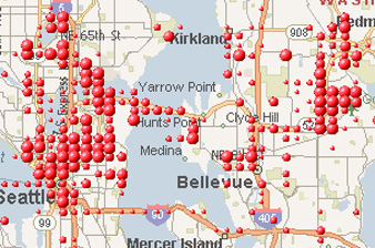
Three months of trying to record a clean dataset of GPS tracks to geo-locate my photography, in Oslo and London. Notes on what the Garmin GPS Map 60c does and doesn’t do in dense European cities, from the pavement and from public transport.
-
Travelogue
A 2004 note on treating digital photography as a narrative medium, sequences of photos that suggest movement, place, stories and journeys. With plans to tag each image with a GPS coordinate so the sequence carries place as well as time.